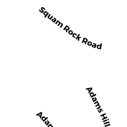
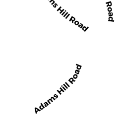
49 ADAMS HILL RD
Owner Information
EGAN JOHN J III & JANET P TBYE
49 ADAMS HILL RD
GLOUCESTER, MA 01930


Property Details
49 ADAMS HILL RD is classified as a Single Family Residential (Colonial).
The primary structure on this property was built in 1900. There are 5264ft2 of built area within this property. There is 2701ft2 of residential/living space within this property.
49 ADAMS HILL RD is valued at 1220900. The land is valued at 792300 and the structures are valued at 421000. There is an additional valuation of 7600 on this property.
This property is in Zone R-20. Confirm with local Zoning Board authorities to ensure there are no overlays or other easements on this property.
The most recent deed for 49 ADAMS HILL RD is recorded at the local registrar in Book 12916, Page 468. 49 ADAMS HILL RD was last sold on 1995-02-07 for 1.
Assessment data from fiscal year 2022.
Flood Data
According to the FEMA National Flood Hazard Layer, this property does not appear to be in a flood zone. It may also be in an area not yet reviewed. Nonetheless, confirm this information prior to taking any action.
To view the flood hazards around this property, create a FEMA "Firmette" Map of the area around 49 ADAMS HILL RD.
Broadband Internet Providers
| Provider | Type | Bandwidth (mbps) | |
|---|---|---|---|
| Verizon New England Inc. | DSL | 5 | 0 |
| VSAT Systems, LLC. | Satellite | 2 | 1 |
| HughesNet | Satellite | 25 | 3 |
| GCI Communication Corp. | Satellite | 0 | 0 |
| T-Mobile | Fixed Wireless | 25 | 3 |
| Comcast | Cable | 1000 | 35 |
| Viasat Inc | Satellite | 100 | 3 |
Broadband service provider data from December 2020.
Adjacent Properties
- 14 SQUAM ROCK RD
Single Family Residential owned by IGLEHART JOHN & FORTE SUZANNE - 51 ADAMS HILL RD
Single Family Residential owned by MCNULTY JOSEPH T & MACDONALD HEATHER TRS - 47 ADAMS HILL RD
Single Family Residential owned by LANGER STEPHEN T & JANET C - 12 SQUAM ROCK RD
Single Family Residential owned by NORTON CLAIRE D